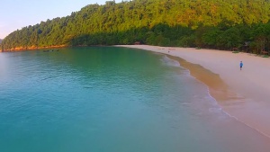
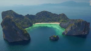
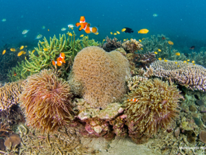
Myanmar has a large marine territory. The coastline stretches from the Naf River, the dividing line between Bangladesh and Myanmar, to Kawthaung at the border with Thailand; 2,831 km to the south. Along the southern coastline the Myeik Archipelago is made up of more than Boo islands. The continental shelf covers 225,000 km2, and the Exclusive Economic Zone covers 512,000 km2. Coastal areas also include 5,000 km2 of brackish and freshwater swampland that provides essential ecological habitat for spawning and as a nursery and feeding ground for fish, prawns and other aquatic fauna and flora of economic and ecological importance. Mangroves are found in many coastal regions, particularly near estuaries in Rakhine State, Taninthayi Region and Ayeyawady Region. Other coastal habitats include intertidal mud and sand flats, which are very important for migratory water birds, as well as sand dunes and beach forest. The Gulf of Mottama contains one of the largest intertidal mudflats in the world and is thought to be key for the survival of the critically endangered spoon-billed sandpiper.


